Collection
The survey area was designated by the Board of Supervisors on July 24, 1950, and a plan was approved by the board on Oct. 24, 1955. As late as the 1950s, three-fourths of Diamond Heights lay...
Show moreThe survey area was designated by the Board of Supervisors on July 24, 1950, and a plan was approved by the board on Oct. 24, 1955. As late as the 1950s, three-fourths of Diamond Heights lay undeveloped and uninhabited. In 1954, a California Appeals Court decision (San Francisco Redevelopment Agency v. Hayes) affirmed the validity of defining vacant land as blighted under the California Community Redevelopment Law, clearing the way for the redevelopment of Diamond Heights. The project was closed out on Sept. 27, 1978. Construction was substantially completed in 1979.
Show less
Collection
Contains photos, negatives, and slides of models for proposed construction projects; architects and artists' renderings of proposed development area; photo documentation of subject property,...
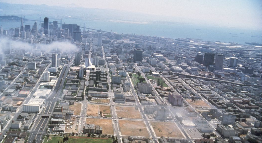
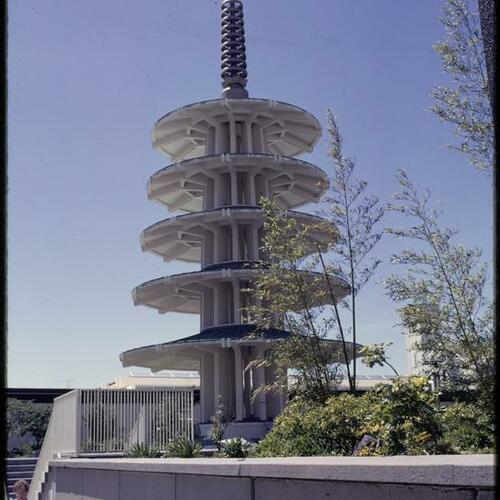
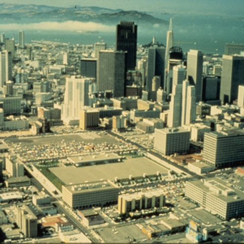
Show moreContains photos, negatives, and slides of models for proposed construction projects; architects and artists' renderings of proposed development area; photo documentation of subject property, including but not limited to the Produce Market; construction in progress; post-redevelopment images. The Golden Gateway Project was a 17-block project downtown directly northwest of the Ferry Building and bounded by Embarcadero, Market, Sacramento, Battery, Front and Broadway.
Show less
Collection
The survey area was designated by the Board of Supervisors on Dec. 23, 1963, and the plan was approved by the board on Jan. 20, 1969. Initiated by the local community through their Joint Housing...
Show moreThe survey area was designated by the Board of Supervisors on Dec. 23, 1963, and the plan was approved by the board on Jan. 20, 1969. Initiated by the local community through their Joint Housing Committee, the redevelopment project predominantly involved a residential area of temporary World War II housing units and included an abandoned commercial center and some privately owned, deteriorating dwellings. A new community was developed with emphasis on low-to-moderate priced private housing and supporting facilities. Bayview Hunters Point is comprised of the Bayview and Hunters Point neighborhoods located in the southeastern part of San Francisco. The geography includes marshland and bay waterfront, and three hills (Silver Terrace, Hunters Point Hill and Bayview Hill). During World War II, the Navy expanded its operations in the adjacent shipyard area, eventually controlling nearly 1000 acres. In 2006, the plan was amended and became known as the Bayview Hunters Point Redevelopment Plan. The area covered by the original plan, which then became known as project Area A, expired in January 2009.
Show less
Collection
Consists of photographs and appraisal reports with photographs documenting the redevelopment of the Western Addition from the 1950s through the 1980s. Materials include photographs, negatives,...
Show moreConsists of photographs and appraisal reports with photographs documenting the redevelopment of the Western Addition from the 1950s through the 1980s. Materials include photographs, negatives, slides, appraisal and sales reports. Of special interest in this collection are a large number of photographs documenting "blighted" conditions of the neighborhood prior to redevelopment, the moving of Victorian houses from one location to another, and the low-income housing projects that were built.
Show less
Collection
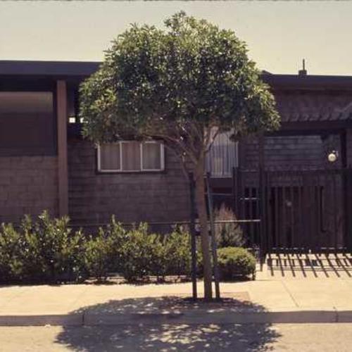
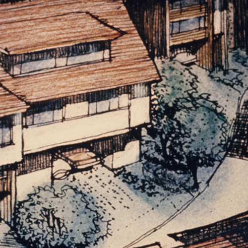
Contains photos, negatives, and slides of models for proposed construction projects; artists' renderings of proposed development area; photo documentation of subject property, including homes and...
Show moreContains photos, negatives, and slides of models for proposed construction projects; artists' renderings of proposed development area; photo documentation of subject property, including homes and businesses; construction in progress; post-redevelopment images.
Show less
Show moreContains photos, negatives, and slides of models for proposed construction projects; artists' renderings of proposed development area; photo documentation of subject property, including homes and businesses; construction in progress; post-redevelopment images.
Show less