Collection
The survey area was designated by the Board of Supervisors on Dec. 23, 1963, and the plan was approved by the board on Jan. 20, 1969. Initiated by the local community through their Joint Housing...
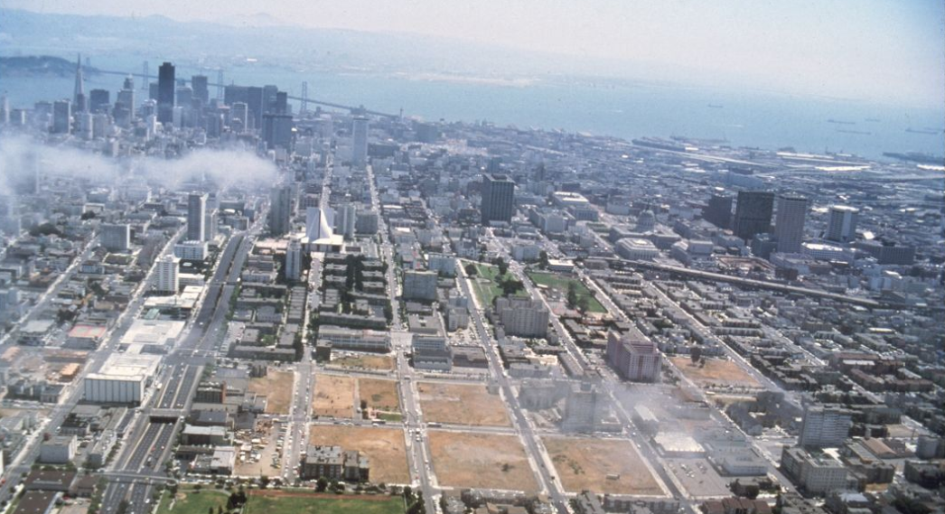
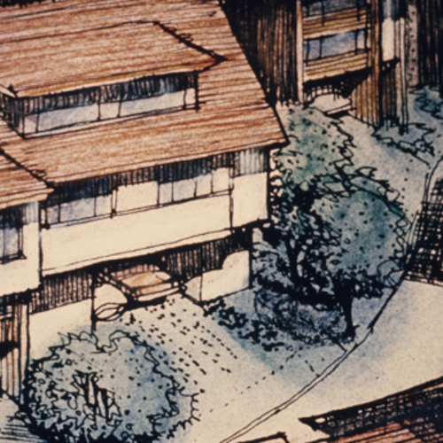
Show moreThe survey area was designated by the Board of Supervisors on Dec. 23, 1963, and the plan was approved by the board on Jan. 20, 1969. Initiated by the local community through their Joint Housing Committee, the redevelopment project predominantly involved a residential area of temporary World War II housing units and included an abandoned commercial center and some privately owned, deteriorating dwellings. A new community was developed with emphasis on low-to-moderate priced private housing and supporting facilities. Bayview Hunters Point is comprised of the Bayview and Hunters Point neighborhoods located in the southeastern part of San Francisco. The geography includes marshland and bay waterfront, and three hills (Silver Terrace, Hunters Point Hill and Bayview Hill). During World War II, the Navy expanded its operations in the adjacent shipyard area, eventually controlling nearly 1000 acres. In 2006, the plan was amended and became known as the Bayview Hunters Point Redevelopment Plan. The area covered by the original plan, which then became known as project Area A, expired in January 2009.
Show less


