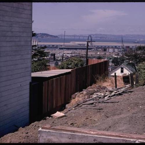
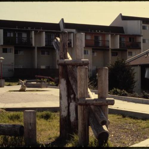
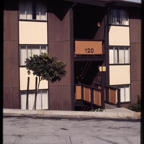
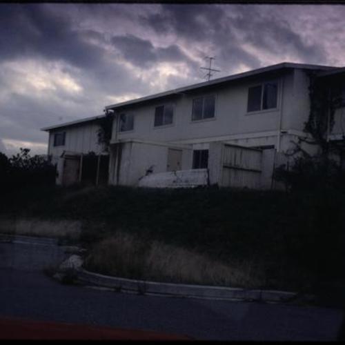
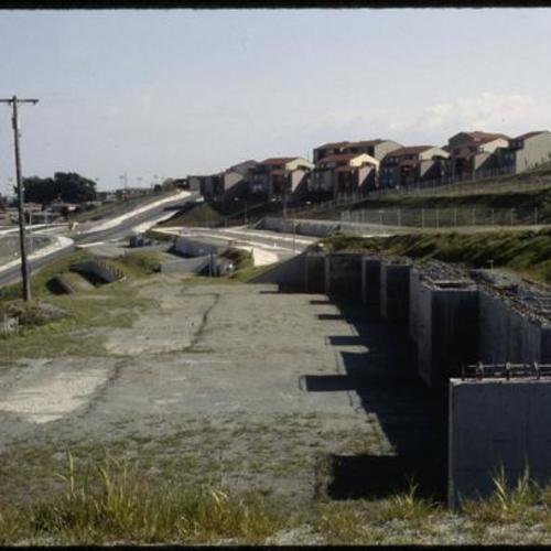
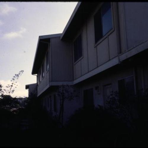
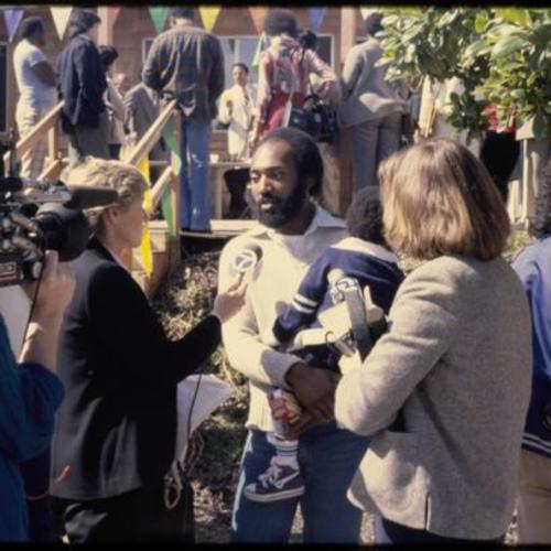
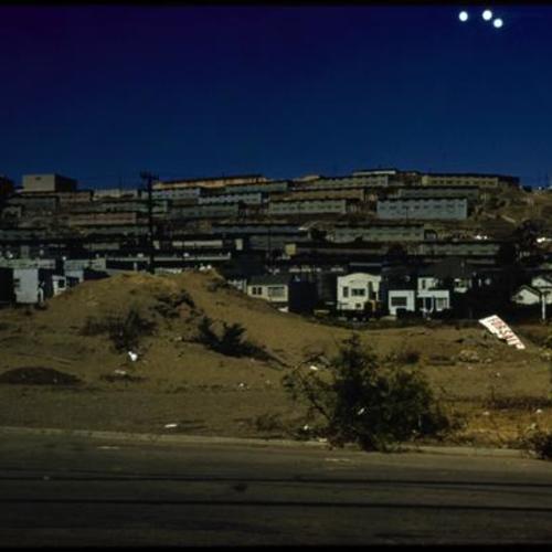
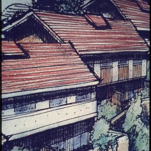
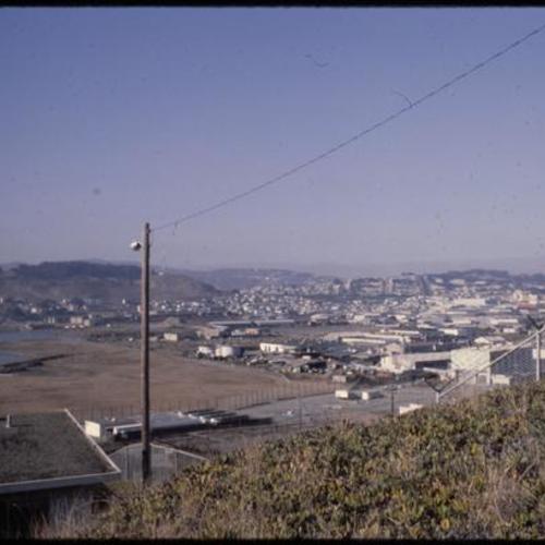
Hunters Point Project Area A
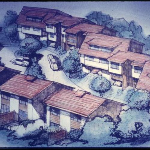
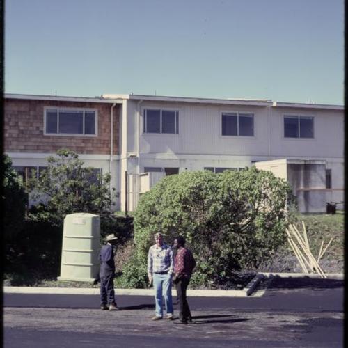
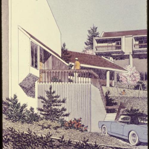
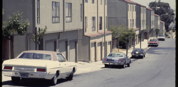
The survey area was designated by the Board of Supervisors on Dec. 23, 1963, and the plan was approved by the board on Jan. 20, 1969. Initiated by the local community through their Joint Housing Committee, the redevelopment project predominantly involved a residential area of temporary World War II housing units and included an abandoned commercial center and some privately owned, deteriorating dwellings. A new community was developed with emphasis on low-to-moderate priced private housing and supporting facilities. Bayview Hunters Point is comprised of the Bayview and Hunters Point neighborhoods located in the southeastern part of San Francisco. The geography includes marshland and bay waterfront, and three hills (Silver Terrace, Hunters Point Hill and Bayview Hill). During World War II, the Navy expanded its operations in the adjacent shipyard area, eventually controlling nearly 1000 acres. In 2006, the plan was amended and became known as the Bayview Hunters Point Redevelopment Plan. The area covered by the original plan, which then became known as project Area A, expired in January 2009.
- still image (408)
- Color slides (408)
- Photographs (14)
- Abandoned houses (1)
- Aerial photographs (1)
- Apartments (86)
- Architectural models (4)
- Asphalt (15)
- Backyard gardens (2)
- Balconies (6)
- Basketball courts (1)
- Bathrooms (1)
- Bayview-Hunters Point (San Francisco, Calif.) (31)
- Bedrooms (2)
- Building materials (1)
- Building sites (78)
- Buildings (2)
- Cars (26)
- Child care (2)
- Children (3)
- Clothes closets (1)
- Clotheslines (2)
- Community centers (9)
- Concrete (1)
- Condominiums (52)
- Construction and demolition debris (1)
- Construction equipment (26)
- Construction projects (3)
- Construction workers (6)
- Courtyards (11)
- Cul-de-sac streets (2)
- Curbs (1)
- Day care centers (2)
- Diamond Heights (San Francisco, Calif.) (1)
- Doors (1)
- Drums (Containers) (1)
- Excavating machinery (6)
- Feinstein, Dianne, 1933- (13)
- Fences (22)
- Floors (1)
- Ford trucks (1)
- Garage doors (1)
- Gas-meters (1)
- Gates (1)
- Graffiti (6)
- Housing (2)
- Hydrants (1)
- Interior architecture (1)
- Kitchens (2)
- Landscape architectural drawing (32)
- Landscape photography (1)
- Lawns (7)
- Litter (Trash) (5)
- Living rooms (3)
- Lotteries (36)
- Lottery winners (2)
- Navy-yards and naval stations (9)
- Nursery schools (1)
- Parking lots (1)
- Pavements (1)
- Playgrounds (12)
- Plazas (6)
- Police (1)
- Ramps (Walkways) (3)
- Real property--Maps (11)
- Recreation areas (3)
- Retaining walls (10)
- Roads (2)
- Roads--Interchanges and intersections (1)
- Roadside litter (1)
- Roofs (1)
- Row houses (3)
- San Francisco Redevelopment Agency (San Francisco, Calif.) (2)
- San Francisco-Oakland Bay Bridge (Oakland and San Francisco, Calif.) (1)
- Satellite image maps (1)
- Security guards (2)
- Sidewalks (20)
- Signs and signboards (2)
- Staircases (1)
- Stairs (9)
- Storefronts (1)
- Streets (28)
- Sundials (2)
- Supervisors (Local government) (4)
- Tennis courts (1)
- Trails (7)
- Trees (7)
- Urban forestry (79)
- Urban parks (4)
- Urban renewal (1)
- Volkswagen automobiles (1)
- Warehouses (5)
- Windows (14)
- Wooden beams (2)
- Wooden fences (20)
- Wooden windows (1)
- building sites (3)